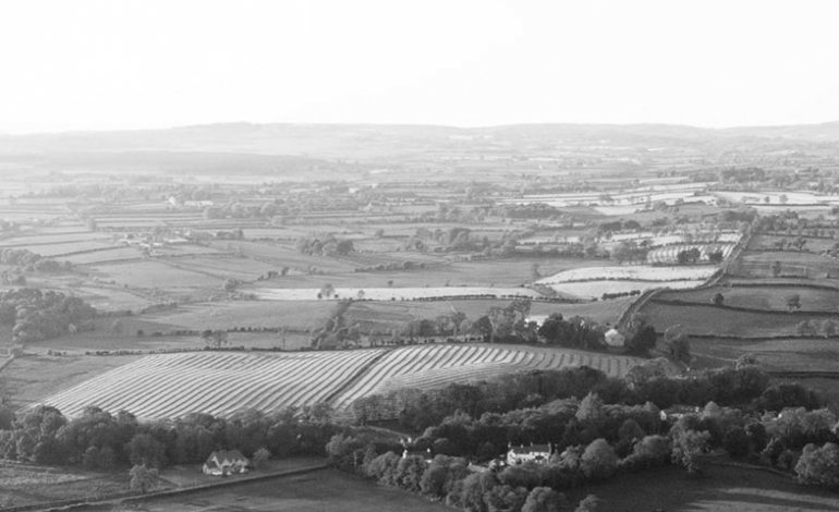
High quality data produced saving time and expense.
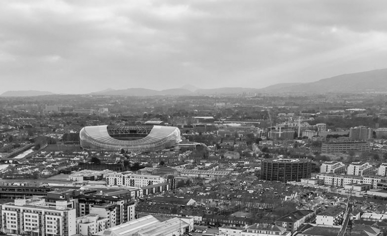
More versatile and cheaper alternative to planes or helicopters
Greater image resolution and quality
Extremely accurate results
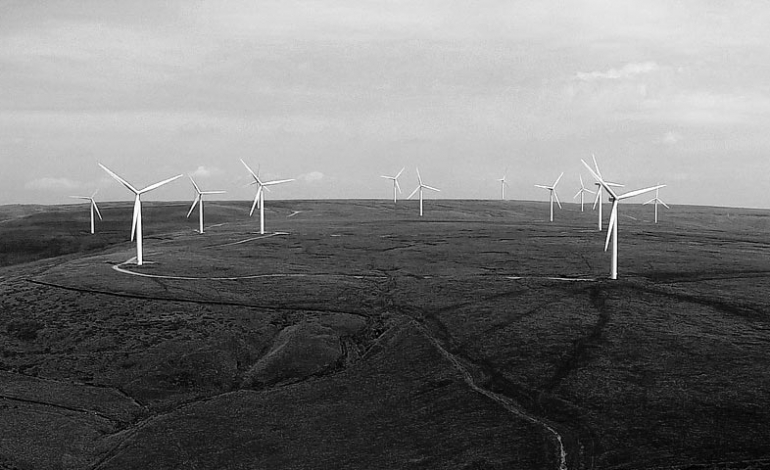
High resolution still and video images for all mapping purposes.
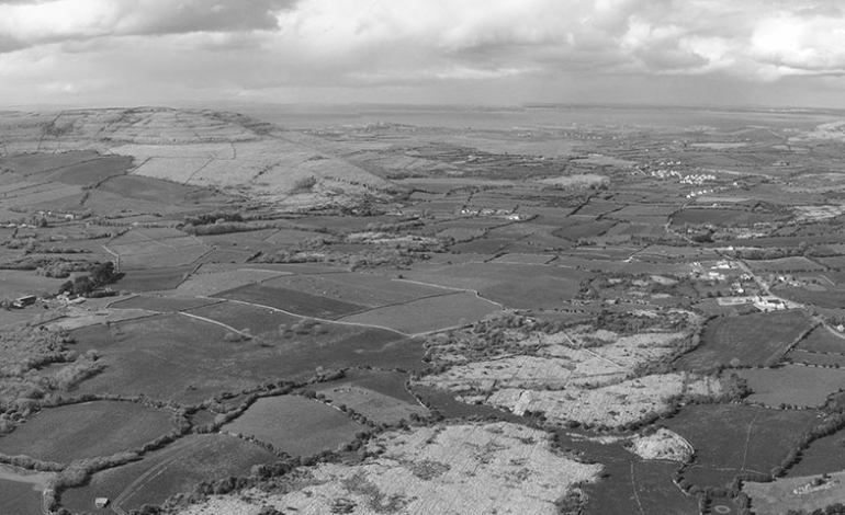
For large-scale and small-scale mapping
Cheaper and quicker than other surveying methods
Includes 3D topographical surveys
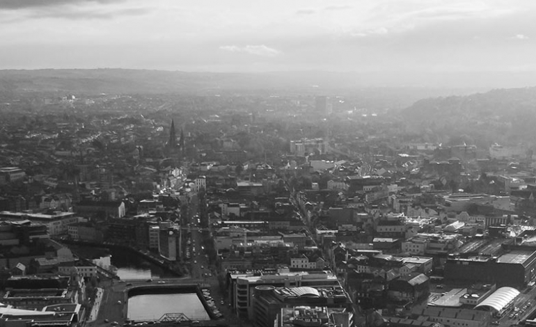
Drone Pilots fly DJI & Yuneec drones. Our main workhorse drone is the Yuneec H520 hexacopter which uses either a 20MP 4K or thermal imaging camera.
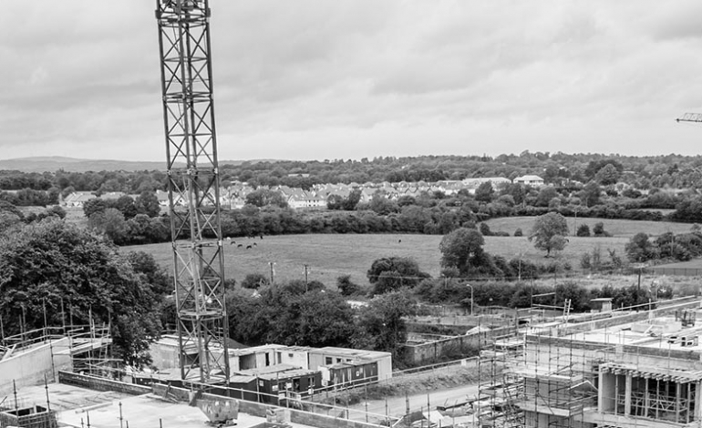
Inspection by drone is the faster, safer and cheaper way to survey at height.
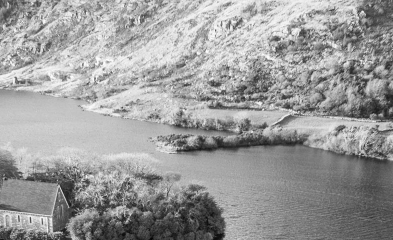
High resolution still images of video footage for a wide variety of applications in all your commercial and other needs. Results delivered in the format you require.

