Photogrammetry is the science of making measurements from photographs. It is rapidly replacing aerial photogrammetry using aeroplanes or helicopters. Its output is typically a map, drawing or 3D model of a land mass or structure.
Benefits of Drone Photogrammetry
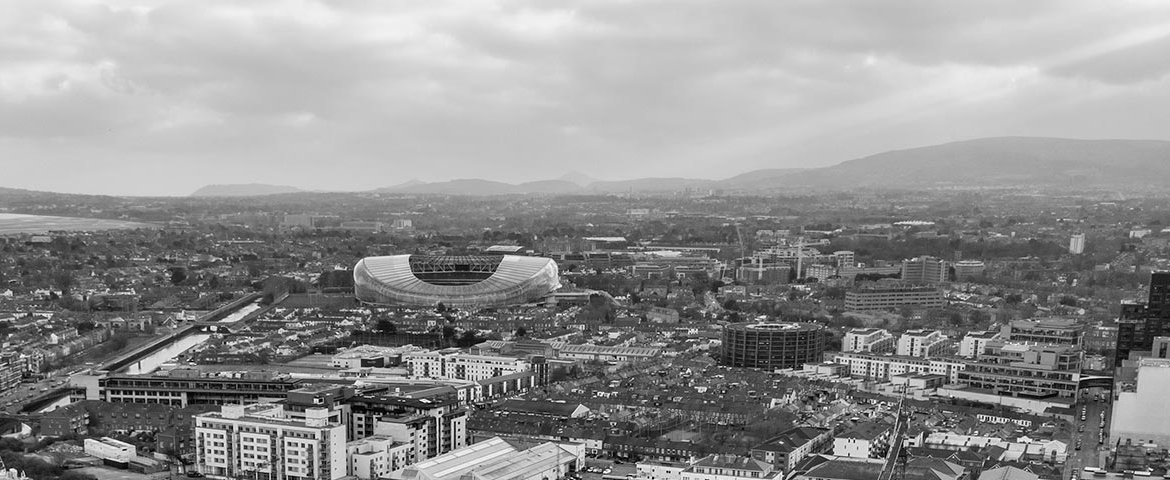
- Versatility: Because drones fly at lower altitudes data recording is possible in cloudy conditions that would hinder planes or helicopters. Drones can also deliver photogrammetric renderings of vertical structures.
- Cheaper: Commissioning a drone for photogrammetry services is substantially cheaper than using a plane or helicopter for the same purpose.
- Improved image resolution and quality: image quality increases the lower the altitude or proximity to a structure.
- Quicker: operating and turnaround for assignments is slashed.
Applications of Drone Photogrammetry
Drone Photogrammetry has applications in the following areas:
- Forestry Management and Planning.
- Flood Modelling.
- Pollution Modelling.
- Mapping and Cartography.
- Urban Planning.
- Coastline Management.
- Transport Planning.
- Oil and Gas Exploration.
- Quarrying and Mining.
- Archaeology.
- Cellular Network Planning.
The Drone Photogrammetry Process
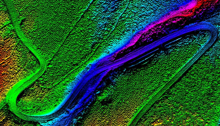
To create maps or 3D models of land banks the drone’s camera is pointed angled downwards towards the ground. Multiple overlapping photos of the ground or object, as it follows a predetermined flight path are then take. Specialist software then processes and analyses these photos providing the required outputs.
Why choose Drone Pilots for Drone Photogrammetry?
- Nationwide service.
- The latest inspection drones
- Fully qualified pilots licenced with the Irish Aviation Authority.
- Sister company of Kelleher Chartered Building Surveyors.
- Fully insured.
To learn more about our expert Drone Photogrammetry services, contact us today.