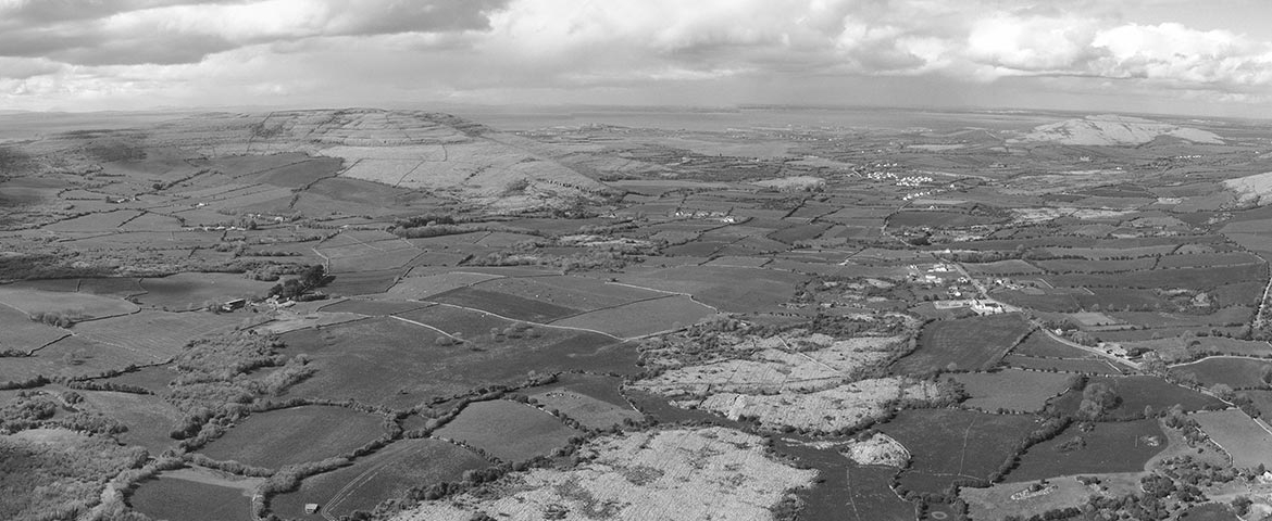
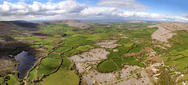
Drone Land Surveying by fully qualified pilots licenced with the Irish Aviation Authority.
Benefits of Drone Land Surveying
- Ease of Surveying: Conducting a land survey the ‘traditional’ way can be arduous work for the personnel on site. Drone Land Surveying makes it easier to capture all necessary data, by automating the process.
- Increased Safety: A ‘traditional’ survey can also entail navigating rugged or difficult parcels of land. The drone removes this difficulty.
- Increased accessibility
- Cheaper and quicker: Substantial cost savings available. Larger parcels of land can often be surveyed between 30 – 60 minutes.
Services
Land and Topographical Surveys
- Contouring and levelling
- Large and small scale mapping
- Roads, trees, rivers and services mapping
- Boundary disputes
Engineering
- Area calculations
- Volumes calculations
- Stockpile surveys
- Cut/Fill calculations
- Land parcel surveys
Why choose Drone Pilots for Drone Land Surveying?
- Nationwide service.
- The latest inspection drones
- Fully qualified pilots licenced with the Irish Aviation Authority.
- Sister company of Kelleher Chartered Building Surveyors .
- Fully insured.
To find out more, contact us today.