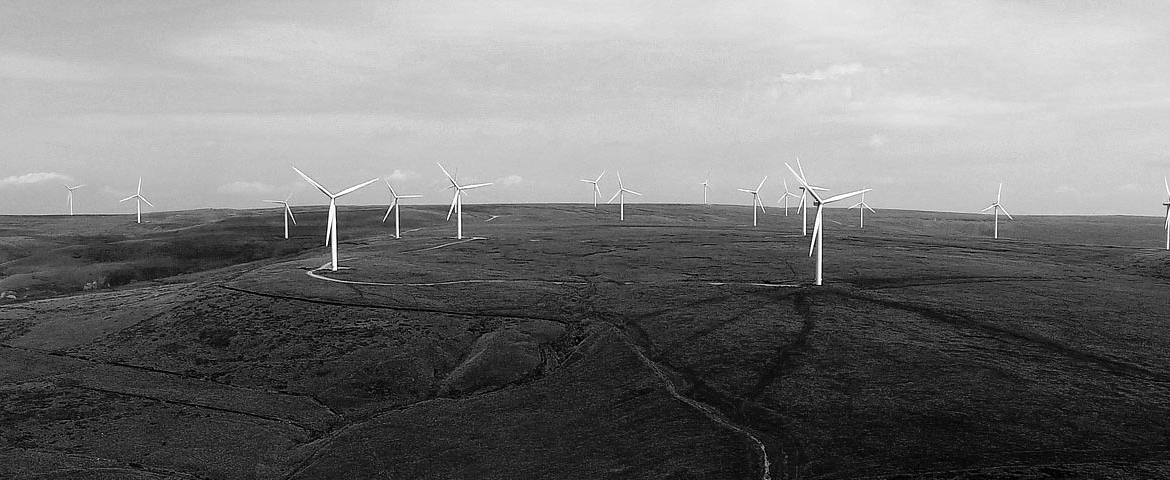
Drones make aerial surveying and mapping easier and more sophisticated than ever before.
Benefits of Drone Mapping
- Saves time and money by increasing turnaround and time on site.
- Greater accuracy: A single drone can provide more accurate results than ‘traditional’ mapping techniques. We use the latest equipment and software to provide high degrees of accuracy.
Applications of Drone Mapping
Drone mapping has applications across many sectors, including:
- Construction: At any stage from pre-planning to monitoring progress of work on site. Particularly useful for large hard to reach area such as large roof surfaces.
- Agriculture: From crop management and real-time monitoring, droneshave an important role to play in the management of agriculture through the use of sophisticated software.
- Mining and Quarrying: With a single automated flight, a drone can collect timely, georeferenced imagery that is quickly transformed into a precise 3D copy of quarrying and mining facilities with a whole host of applications.
- Aerial Images for Real Estate Marketing
The Drone Mapping Process
Drone mapping is carried out via photogrammetry.
Why choose Drone Pilots for Drone Mapping?
- Nationwide service.
- The latest inspection drones
- Fully qualified pilots licenced with the Irish Aviation Authority.
- Sister company of Kelleher Chartered Building Surveyors .
- Fully insured.
To find out more, contact us today.


